Carlson Survey (IntelliCAD® (built-in))
Carlson Survey (IntelliCAD® (built-in))
Couldn't load pickup availability
■ IntelliCAD® (built-in)
OVERVIEW
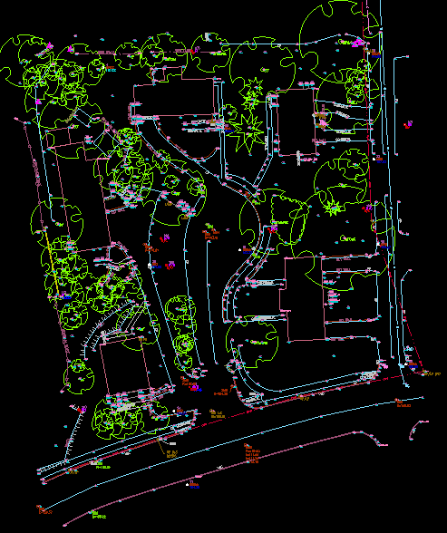
Carlson Survey is designed to complement land surveying operations and provides a variety of survey features to process data from surface modeling to Least Squares Network Adjustment. Users work seamlessly between the office and the field by utilizing company-wide design styles for ease of use and efficiency.
CARLSON SURVEY
-
DATA COLLECTION INTERFACES
Upload and download to popular data collectors
-
TRAVERSE ADJUSTMENT
Spreadsheet editor for raw data with graphics and processing for traverse adjustments
-
SURVNET
Advanced network least-squares for total station, GPS and level data
-
FIELD-TO-FINISH
Draw points with styles and in point groups set by point descriptions and draw linework by several flexible methods
-
FIELD-TO-FINISH INSPECTOR
Inspect all field-to-finish elements, see description source and re-draw based on descriptions edits
-
COGO
Streamlined inverse, traverse, sideshot, intersections, interpolation, translate, rotate, scale and align
-
COORDINATE TRANSFORMATIONS
Transform coordinates and screen entities between lat/lon and grid projections as well as local to local by Helmert and least-squares methods
-
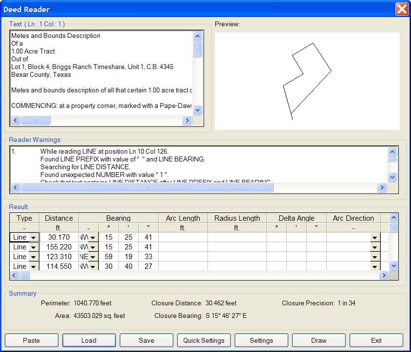
DEEDS
Enter deed by description, read deed data from deed file, deed reports, deed correlation and generate legal description from drawing
-
CUT SHEETS
Create custom cut sheet reports with reference grades and station-offsets
POINTS
-
IMPORT/EXPORT
User-defined import and export of point data along with conversions with specific other formats
-
DRAW POINTS
Draw points with settings for symbols, layers and styles
-
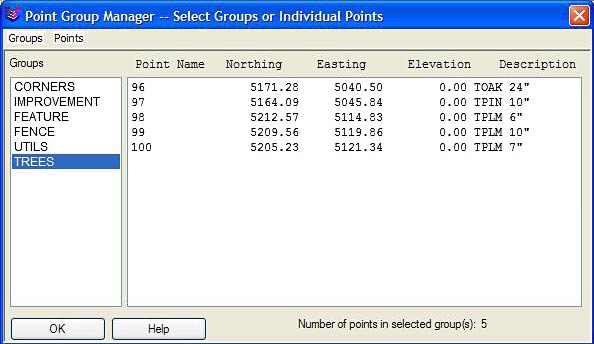
POINT GROUPS
Point group manager to define sets of point by filters
-
COORDINATE FILE HISTORY
Tracks all changes to points with report and undo functions
-
FIX POINT LABEL OVERLAPS
Finds point label overlaps with rule options to fix automatically
-
POINT TOOLS
Utilities for modify point labels such as move with leader, twist and resize
AREA & LAYOUT
-
LABEL AREAS
Customized area label styles and several methods to select areas to label
-
SIZE AREAS
Sliding side area, hinged area, area radial from curve and bearing area cutoff
-
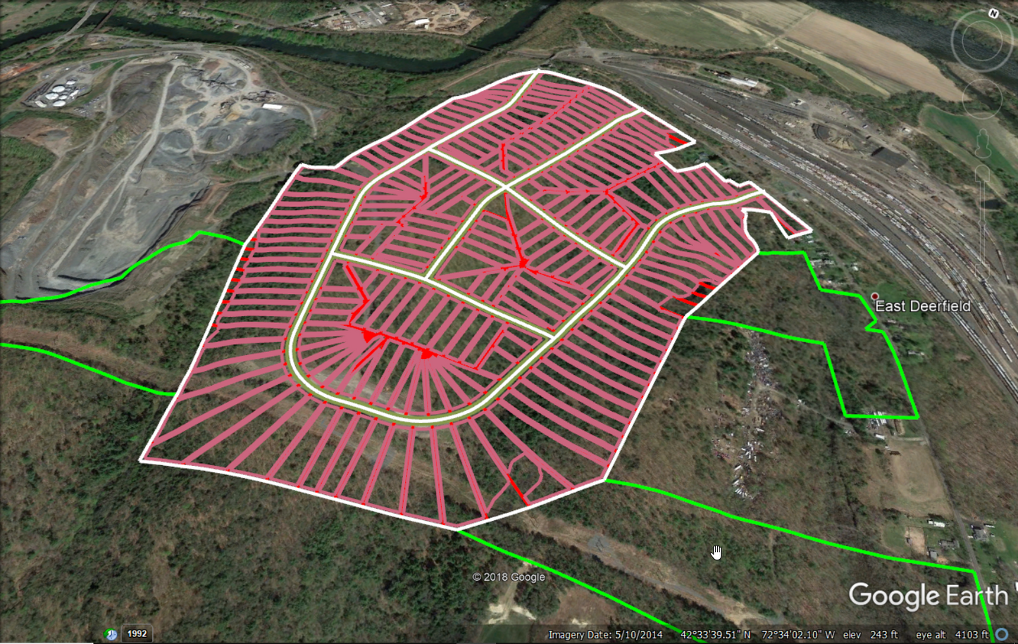
LOT MANAGER
Lot definitions by point numbers with functions to create lots, conduct mapcheck for closure, edit in spreadsheet with graphics, report lots and draw lots
-
LOT LAYOUT
Size lots along alignment with controls for target area, setback and frontage
-
OFFSETS, INTERSECTION AND CUL-DE-SACS
Layout for ROW and EOP linework
ANNOTATION
-
ANGLE & DISTANCE LABELS
Flexible routines to label linework in all possible layout combinations plus available rules to automatically fix label overlaps and revise labels when entities move
-
CURVE LABELS
Label curve data in stack, along arc or in table
-
SURVEY TEXT
Routines to create typical plat labels such as offset and building dimensions
-
LABEL ELEVATIONS
Label spot elevations along an alignment
-
LINETYPES
Draw special linetypes
SURFACES
-
BUILD SURFACES
By triangulation or rectangular grids
-
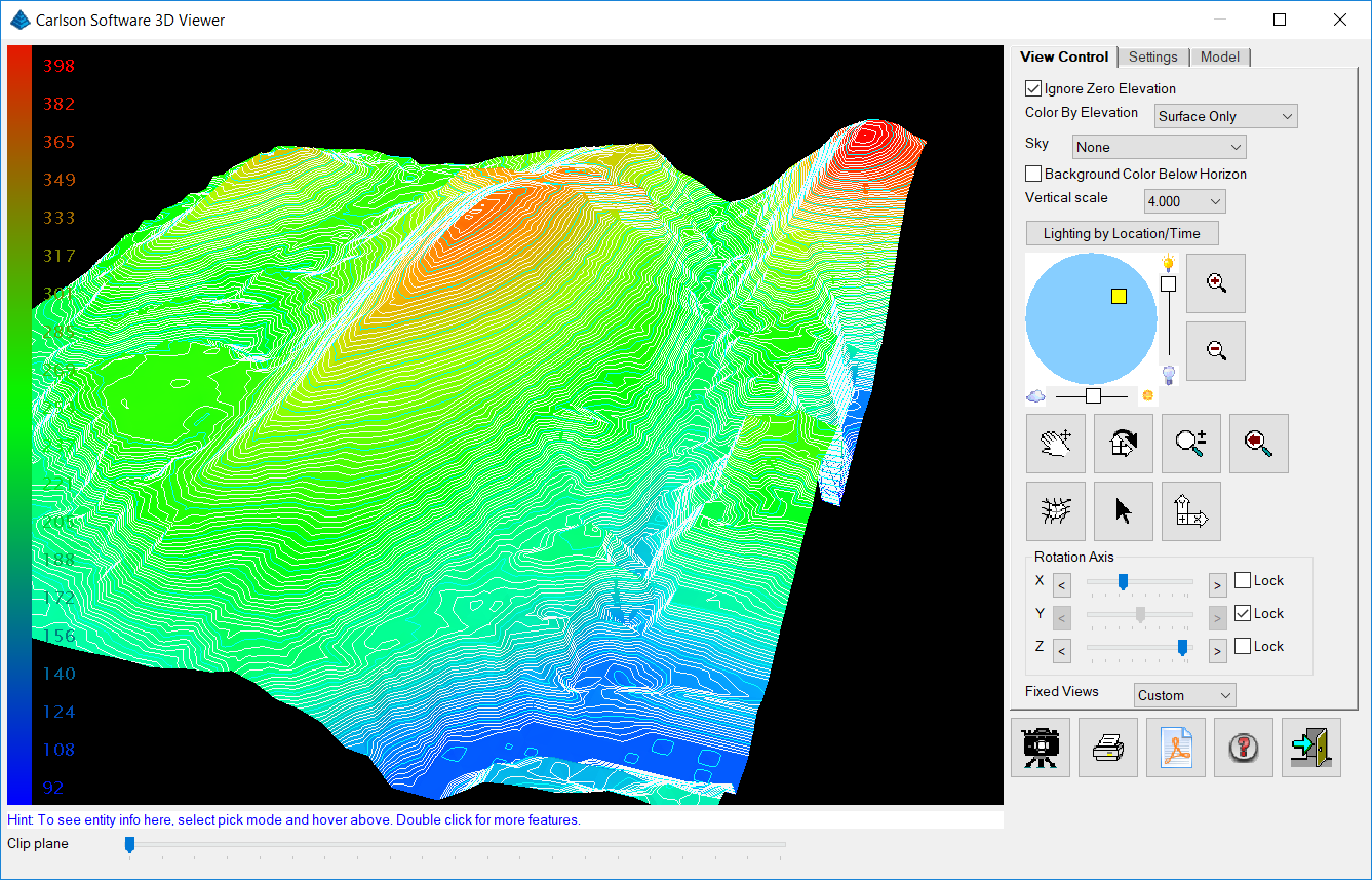
CONTOURING
One step triangulate and contour from 3D entities as well as contouring from surface files
-
SURFACE MANAGER
Change surface display properties and adjust surface functions to add and remove points and breaklines and swap edges
-
VOLUMES
Earthwork volumes between triangulation or grid surfaces
-
PAD DESIGN
Tie cut/fill slopes from pad perimeter to surface, build pad surface, calculate and balance volumes, and edit pad parameters
CENTERLINE & PROFILES
-
DESIGN AND EDIT CENTERLINES
Design or input alignments on screen or in dialog with graphics
-
LABEL STATIONS AND OFFSETS
Annotate station and offsets along centerline and at selected points
-
CALCULATE OFFSETS
Reports stations and offsets for selected points along centerline
-
CREATE OFFSET POINTS
Create points at specified stations and offsets
-
SPIRALS
Flexible handling of the most complex spiral curves including spiral-only elements going arc-spiral-arc, arc-spiral-line and line-spiral-line
-
CREATE PROFILES
From surfaces, screen entities, points on centerline, etc.
-
QUICK PROFILE
One step profile creation with real-time update while adjusting centerline
-
INPUT-EDIT PROFILES
Enter profile data in dual spreadsheet and graphic window, and design in reference to controlling profile grade points
-
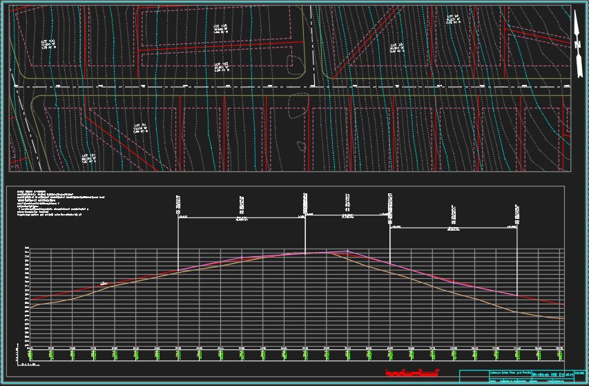
DRAW PROFILES
Draws profiles on grids or plan-profile sheets with auto-updating based on edits
-
PROFILES TO 3D
Create points and 3D polylines from profiles
**this is not a physical copy. Once purchased, a download link and serial number will be provided via email or from Carlson's website.***
Share
