Carlson CRD1 NDAA Version - Photogrammetry (61 mp camera with gimbal) and LiDAR Kit (two returns)
Carlson CRD1 NDAA Version - Photogrammetry (61 mp camera with gimbal) and LiDAR Kit (two returns)
Couldn't load pickup availability
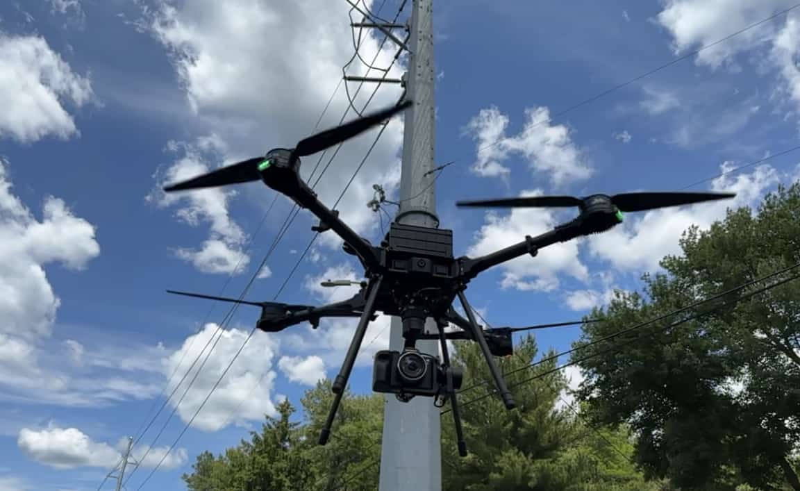
The Carlson CRD1 is an U.S. made, sUAS platform with LiDAR, Photogrammetry, Bathymetry with available payload capacity up to 20lbs. The CRD1 is specifically designed for advanced users in land surveying, construction, engineering, utilities, mining, agriculture, and public safety sectors.
Drone utilizes RTK & PPK technologies. RTK module included, PPK module sold separately with LiDAR kit.
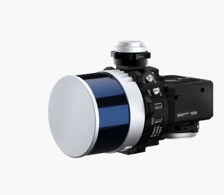
The Hesai XT32 LiDAR module is the industry standard for survey grade drone LiDAR. The Inertial Labs RESEPI IMU has best-in-class performance with a roll & pitch accuracy of 0.006 degrees and heading accuracy of 0.03 degrees. Combining the best IMU with the industry standard LiDAR results in the most accurate drone LiDAR in its class. In addition a 26 MP camera is included for a colorized point cloud. At 165 feet flight altitude, and a speed of 11 mph, the vertical accuracy of the system is better than 0.05 feet.
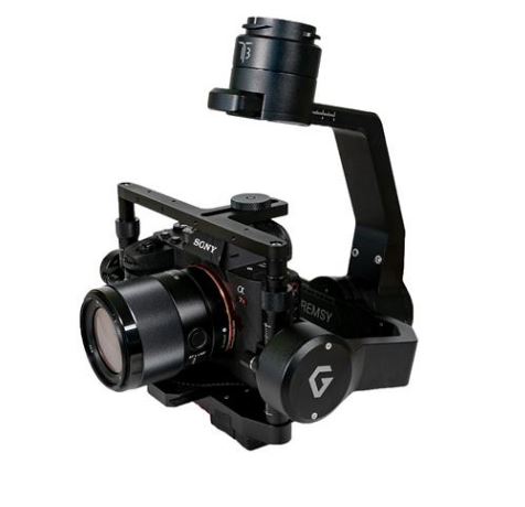
- World's first 61MP full-frame back-illuminated Exmor R sensor
- 15-stop dynamic range, 14-bit uncompressed RAW, ISO 50 to 102,4005
- Up to 10fps continuous shooting at 61MP with AE/AF tracking
- Incredible autofocus: 567 phase-detection / 425 contrast AF points
- Real-time Tracking and Real-time Eye AF for human, animal and movie
- APS-C crop mode delivers stunning 26.2MP high resolution images
Share


